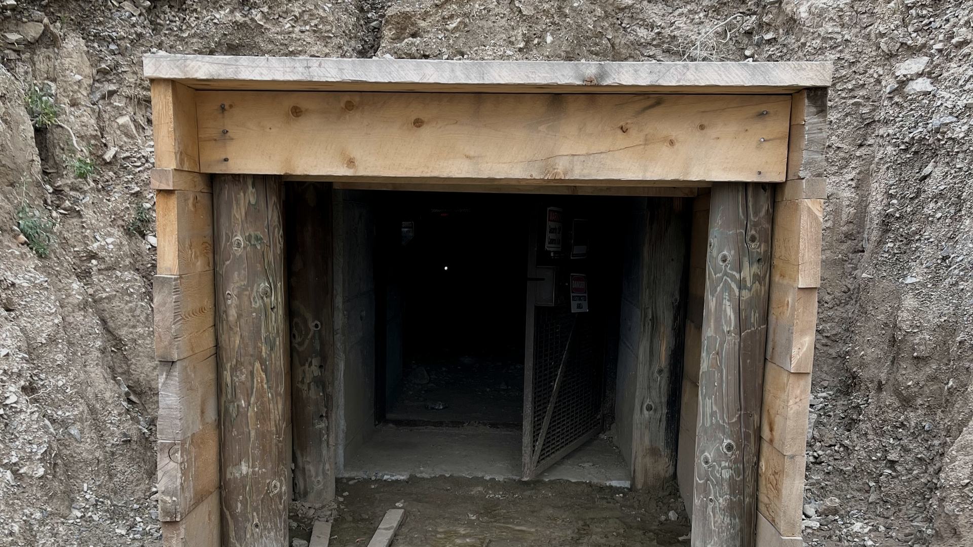
885 acres over a copper‑gold porphyry.
Patented private land in Utah’s historic Rush Valley mining district. Tetelestai is looking for a mining partner.
- 885 acres
- Patented private land
- 1864
- First claim staked
- 11.3 Moz
- Silver produced, mostly from the property
- 56 km
- Historic underground workings
- 17 km
- Southwest of Bingham Canyon
- 2024
- Independent NI 43-101 report
Rail, Power, Highway and Workforce
About 885 acres of patented private land on the west flank of the Oquirrh Mountains, 2 km east of Stockton. Unimproved roads and trails lead to the claims from the paved roads of Stockton on State Route 36. A Union Pacific rail line runs through Stockton, and power lines cross the northwest corner of the property. Salt Lake City International Airport is about 45 minutes away, and the Wasatch Front’s services and labor force are within an hour’s drive.
A Past-Producing District, Mostly on Tetelestai Ground
Mined almost continuously from 1865 to 1958, the district produced more than 2.4 million tons of ore, mostly from what are now Tetelestai’s claims: more than 11.3 million ounces of silver, 439 million pounds of lead, 92 million pounds of zinc and 86,000 ounces of gold. About 56 km of underground workings were developed, most of them on the property.
One of Utah’s Oldest Mining Districts
The Utah Geological Survey lists Stockton as one of the oldest mining districts in Utah and the state’s fifth-largest producer of lead and zinc. It lies on the Bingham–Park City mineral belt.
Critical Minerals
Copper, silver, lead and zinc, all produced from the Stockton district, are on the U.S. Geological Survey’s 2025 List of Critical Minerals.
Geology: A Concealed Porphyry and Its Silver-Lead Halo
The historic mines worked lead-silver ore shoots in Oquirrh Group limestone, the replacement halo of a porphyry system that does not outcrop.
The 2024 report also finds geologic potential for carbonate-replacement lead-zinc-silver, copper-gold skarn and sediment-hosted gold deposits on the property.
Sources: Krahulec, 2014, 2015 and 2018. Bingham Canyon is a separate deposit; its mineralization is not necessarily indicative of mineralization on the Stockton property.
Mining History Since 1864
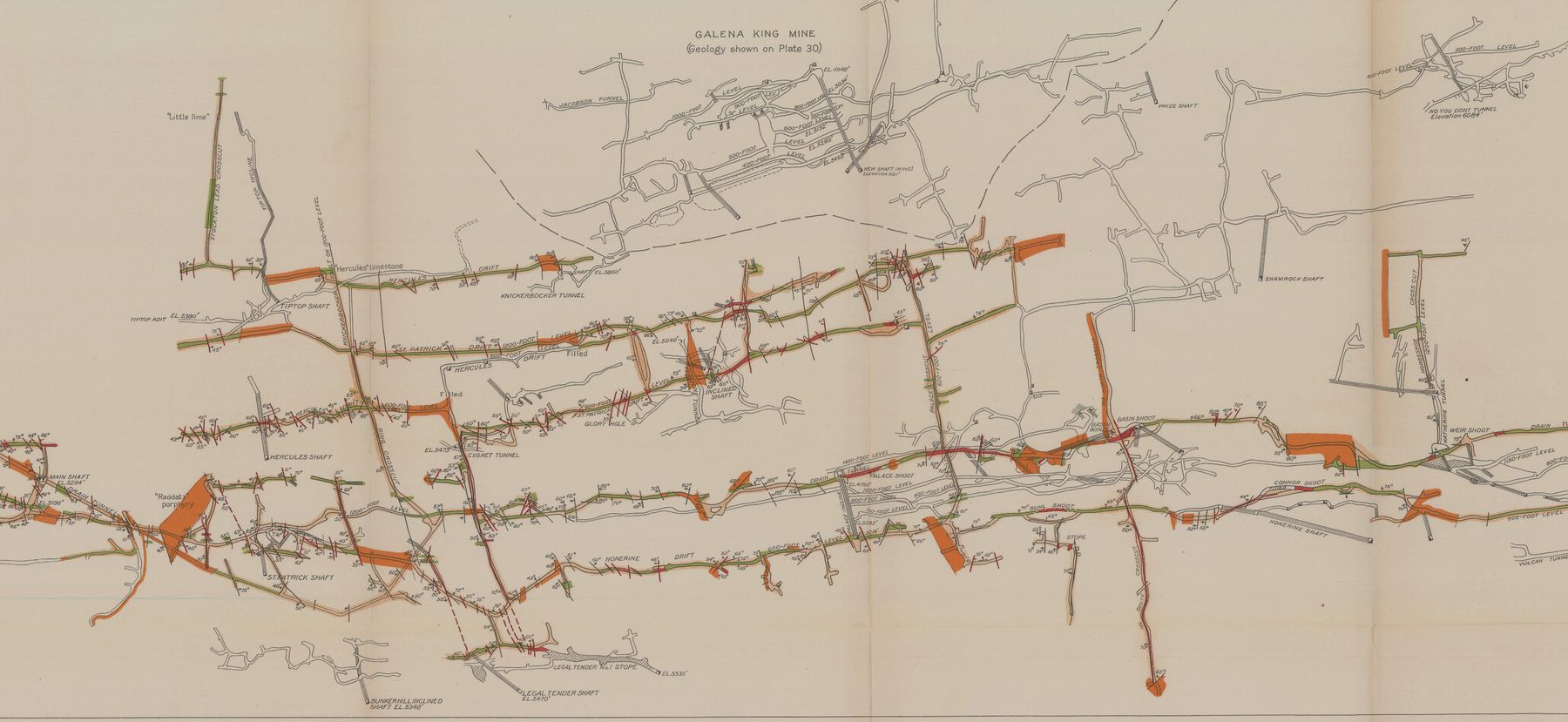
Sources: Gilluly 1932; 2024 NI 43-101 technical report (D. A. Mako, CPG).
Contact
For mining companies evaluating a lease, joint venture or acquisition, and for anyone with questions about the property.
Other contacts: support@tetelestaimines.com